

The concept of Geospatial Information System(GIS) may seem very complicated at first. But, in reality, not many are alien to it. Geospatial Technology or GIS, in simple terms, is the technology which makes possible 'geographical' or geospatial mapping and analysis of the Earth and human settlements.
One can, thus, infer that science of GIS makes available to the user geospatial data, i.e. data representing characteristics or objects on the surface of the earth (or in human settlements). These characteristics, which are also called attributes, can be specified numerically or in words. Examples of such characteristics are "longitude" and "latitude".

These terms may seem complicated, but they simply represent how far east or west a location is (longitude) and how far south or north the location is (latitude). These are only two among the many characteristics that geospatial technology will be able to accumulate.
But, how does the GIS actually work?
Well, the objective of collecting geographic information of any location is to allow people a real understanding of that location without having to visit the place.
For this, the reality (of the location) is captured using different GIS instruments like cameras and sensors placed in satellites or airplanes, GPS receivers in smartphones etc. After having captured the intricacies, these are converted into an electric abstraction for the convenience of storage.
Generally, one needs to further process the geospatial data to remove noise or to make it more user-friendly. For instance, data from surveys is interpreted and tabularized- addresses need to be converted into numeric coordinates.
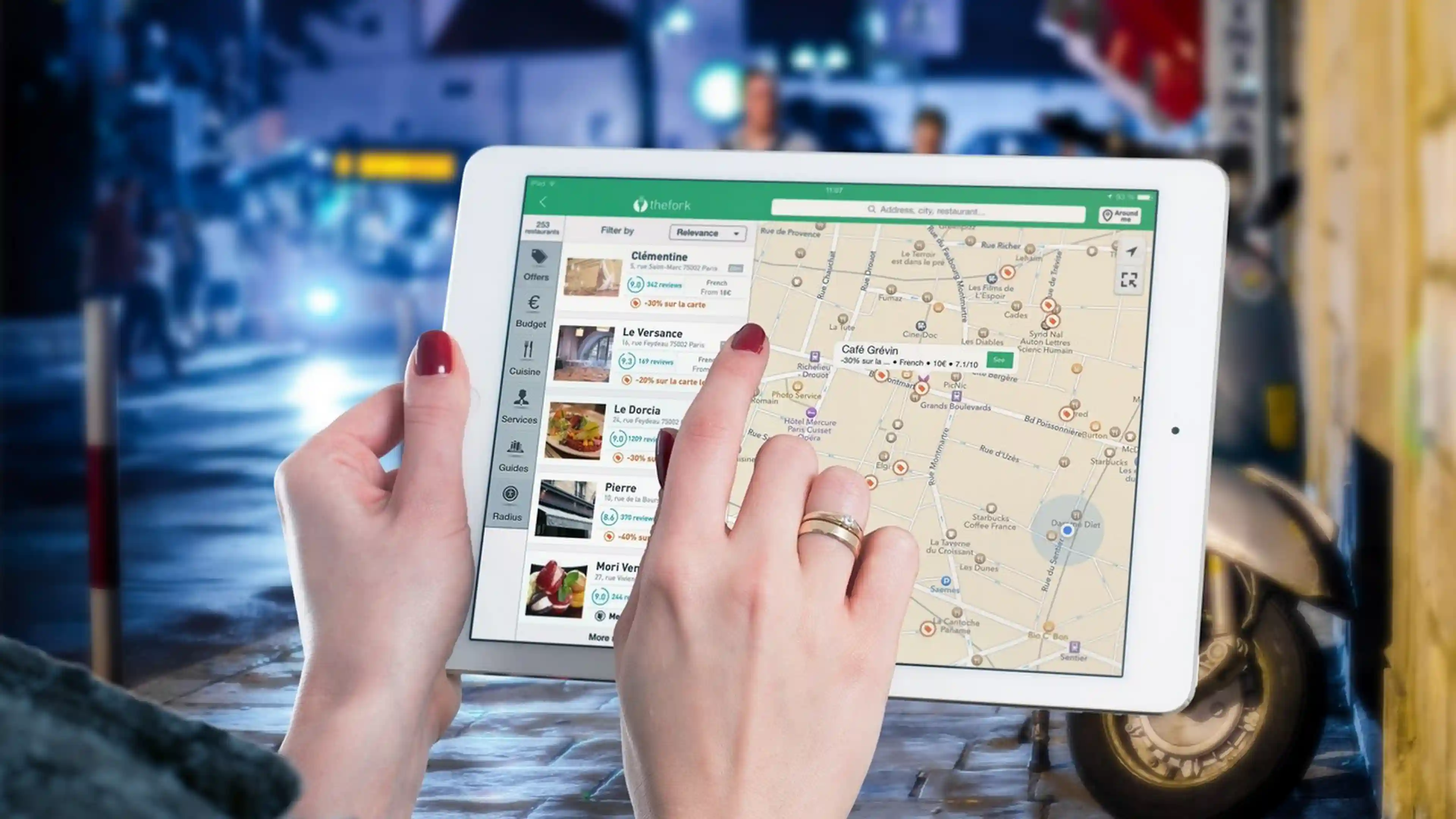
After the information has been simplified enough to be handled by the common people, this information is communicated to the people. Charts, maps or other graphical representations are the most common ways in which the data becomes available to the public. Finally, these representations are interpreted by the people, based on the signifiers (signs and symbols) used.
So far, the most common use of geospatial systems that one is familiar with is the Global Positioning System (GPS). This is the technology behind maps that are so easily accessible through smartphones today.

Recently, another use of this technology is increasingly gaining popularity. Governments are beginning to realize that not only is this technology beneficial to the growth of the overall technological scenario of the country, but is also very crucial for a country's real estate development.
Real estate developments and GIS have one thing in common- analysis and mapping of locations. For real estate developers, consultants and investors alike, location is one of the determining factors. For GIS users, location is the basis of geographic data. This congruency makes the two mutually beneficial for each other.
- In the past, researching for property records meant surfing through cataloged paper records maintained over various years. One had to go through different files placed in different departments. But, many countries have now invested in processing GIS which helps in accumulating all geospatial data (information and location attributes) on the internet in a single place.
- GIS acts as an assistant to decision-making operations. For instance, one can use this technology to identify property location and assess nearby locations.
- The importance of GIS lies in the benefits the system provides to consultants who can now have a better understanding of the property as a whole and can use maps for all necessary information.
In India, too, the central government plans to use geospatial technology extensively in the building of smart cities across the country.
In fact, according to an ET Realty report, in a conference of Geospatial World Forum in 2017, Union Urban Development Minister M Venkaiah Naidu was quoted as saying, "Our Government's vision is to build 100 smart cities across the country. And the Geospatial Science and Technology is the means to realize this vision".
Some state governments have already started making efficient and judicious use of the technology. For instance, in Odisha, the government used a dozen drones to map about 2, 50,000 slum households across the state. While manual mapping would have taken years, this technology not only fast-tracked the process but also helped in creating fresh maps which were in accordance with the data of on-site surveys about families residing in the slums. Owing to drone mapping, the government plans to allot land ownership certificates to nearly 2,00,000 slum households by December 2018.
